8.7 miles
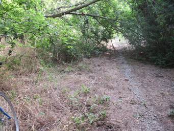
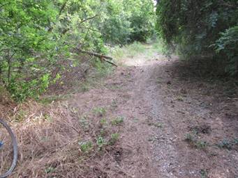
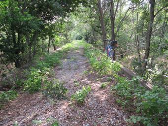
The surface from Celeste to Wolfe City varies. It is crushed granite in Celeste and the remainder varies between dirt and the gravel of the old rail bed.
There are some low areas which hold water and mud after rains. Ruts are in some areas even when dry.
There are four (4) bridges which are open cross-tie and some ties are in poor condition or missing. These should be walked very carefully. Please do not attempt to ride on these bridges. Use CAUTION.
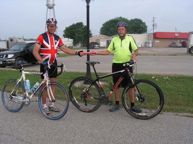
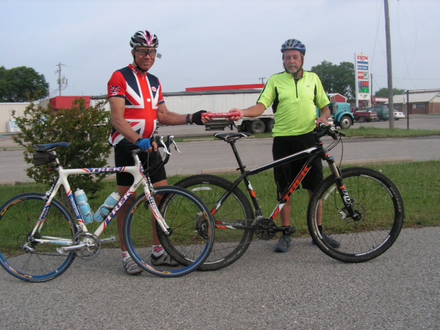
Celeste: City parking lot at Hwy 69 & the Trail, next to the Exxon station.
Wolfe City: On Main St. (Hwy 816); Main & Manson – behind the Post Office.
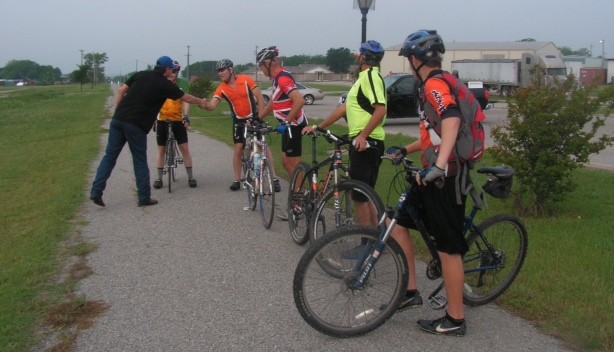
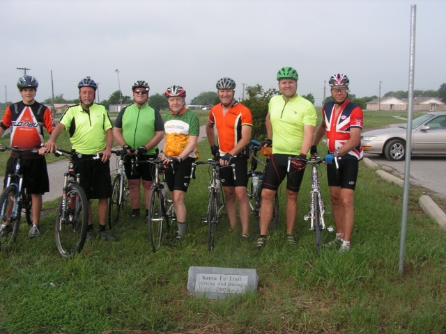
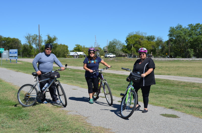
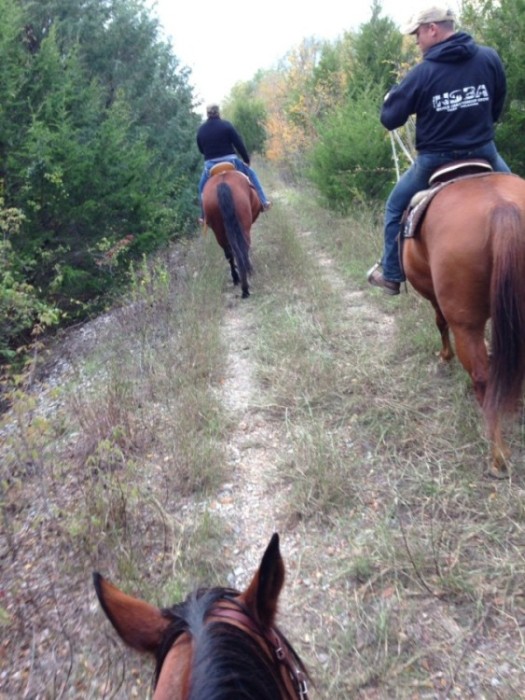
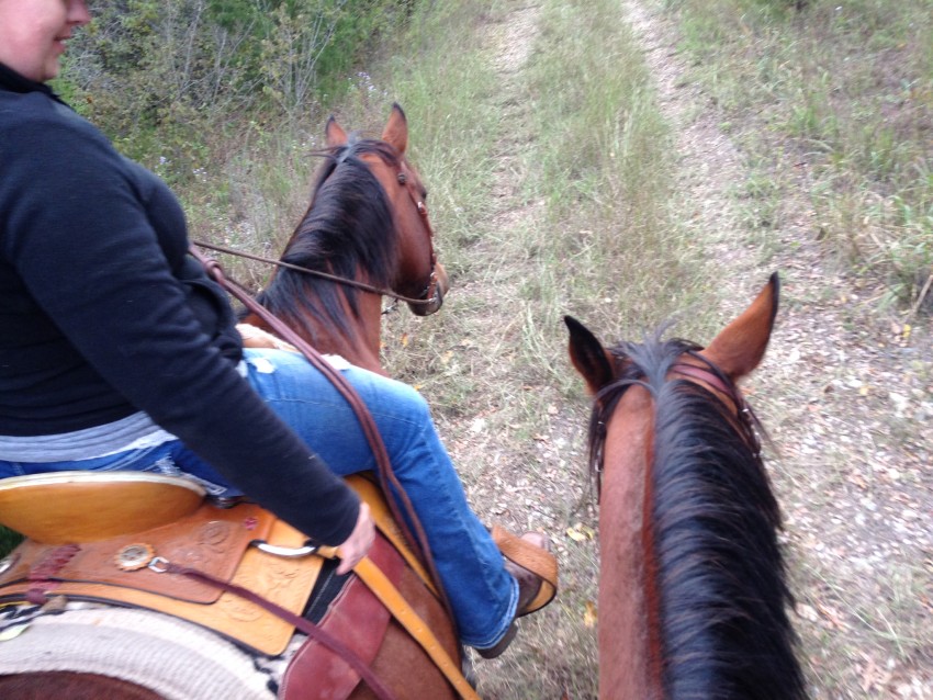
Mountain and hybrid bikes; hiking; walking
The public is asked to contact the person listed for each trail town to make reservations for camping. A complete list of campsites and contact information is posted on the NETT Coalition website. No campsites are currently listed for Wolfe City.
Emergency/ Medical – 9-1-1
Wolfe City – 903-496-2251 (Also City Hall)
Constable (Wolfe City) – 903-450-6261
Celeste City Hall – 903-568-4512
Hunt County Sheriff – 903-453-6800
Constable (Commerce) – 903-886-7937
Find Hotels Near Celest/Wolfe City
Find Restaurants Near Celest/Wolfe City
| [awesome-weather location=”Celeste, TX” units=”F” size=”tall” override_title=”Celeste, TX” forecast_days=3 hide_stats=false background=0] | [awesome-weather location=”Wolfe City, TX” units=”F” size=”tall” override_title=”Wolfe City, TX” forecast_days=3 hide_stats=false background=0] |