5.6 miles
** The Sulphur River bridge has collapsed and is therefore unavailable for use. It is TEMPORARILY CLOSED. We have an alternate route where the trail corridor intersects with Hwy. 38. Use of Hwy 38 has become the alternate route. Turn left or North on Hwy. 38 and proceed on Hwy. 38 into the city of Roxton.
Parking in Ben Franklin
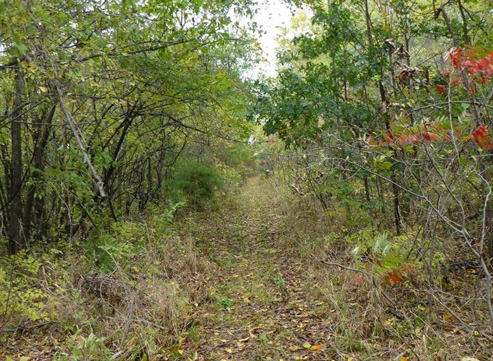
Hiking. Biking with re-routes.
None in Ben Franklin. Two grocery stores/cafes in Roxton with restrooms and provisions. Ample parking in front of Chaparral Rails to Trails Museum in Roxton to go either north or south on the trail. There are also restrooms at the Chaparral Museum and the Community Center that would be open if a group were to come through.
The public is asked to contact the person listed for each trail town to make reservations for camping. A complete list of campsites and contact information is posted on the NETT Coalition website.
Camping for the city of Roxton:
Roxton (City of Roxton): Contact Person – Janet Wheeler (903) 346.3535
Emergency /Medical – 9-1-1
Delta County Sheriff’s Department: (903) 395-2146
Lamar County Sheriff’s Department – (903) 737-2400
Find Hotels Ben Franklin/Roxton
Find Restaurants Ben Franklin/Roxton
| [awesome-weather location=”Ben Franklin, TX” units=”F” size=”tall” override_title=”Ben Franklin, TX” forecast_days=3 hide_stats=false background=0] | [awesome-weather location=”Roxton, TX” units=”F” size=”tall” override_title=”Roxton, TX” forecast_days=3 hide_stats=false background=0] |